
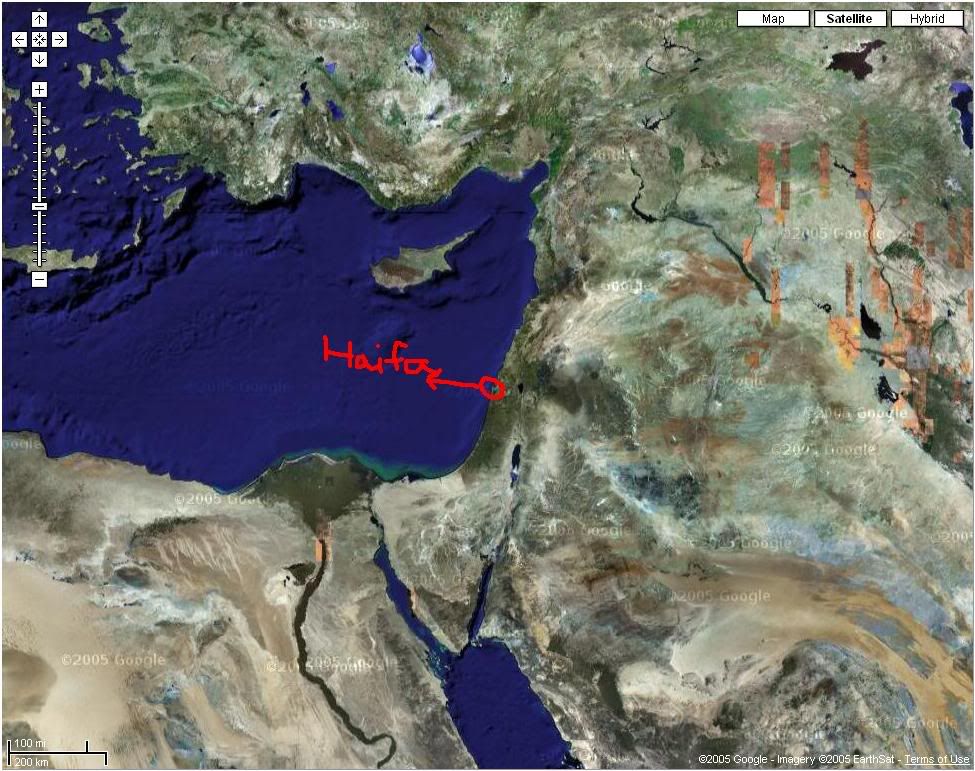
For those of you who don't know what Google Earth is, it's a program that has satellite images of the world. You basically navigate around the globe and you can search for capital cities and other places and see satellite images, in some cases very detailed. You can zoom in and out and the program tells you the "altitude" of the image (for example, it tells you that you are looking at the image from a distance of, let's say, 1 km.). The mountain graphics are very nice, they look kind of 3d, and you can see the elevation of the terrain.
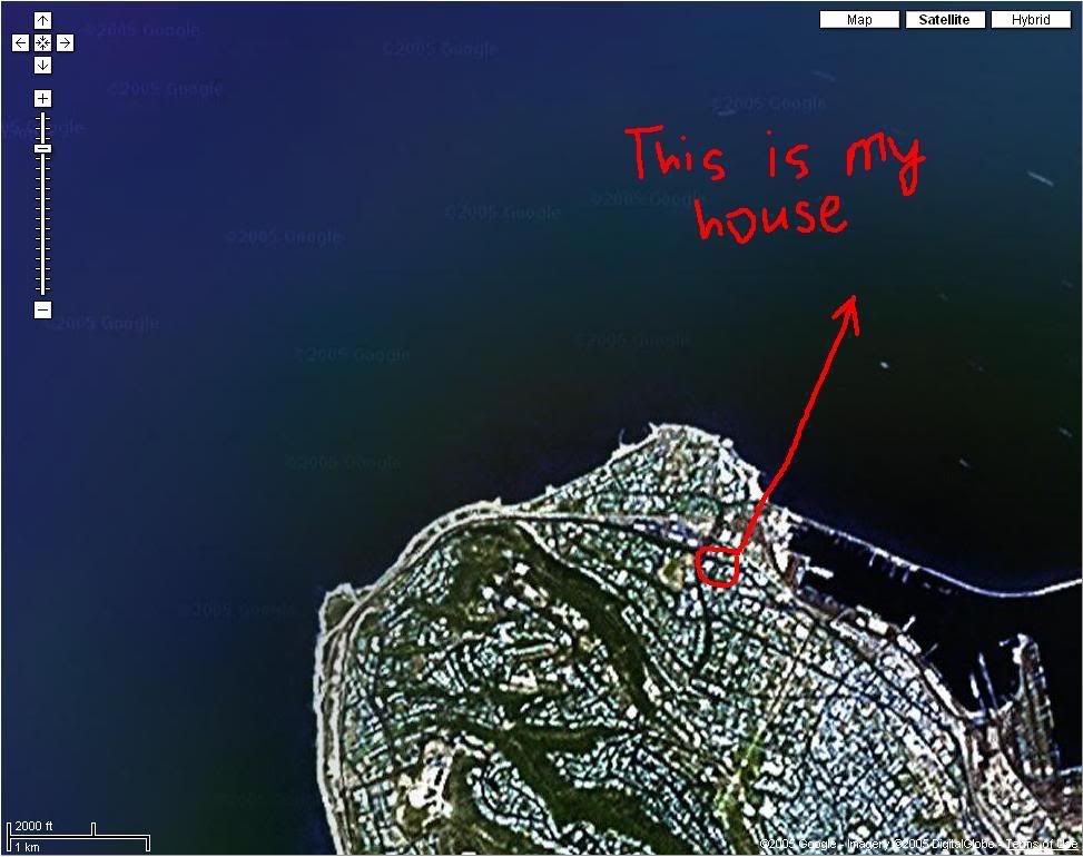
I found my old department in Buenos Aires as well as many other places I used to go to. You can also see soccer stadiums in some detail, and if you live in North America, you can search for specific addresses. The program may sound boring, but I used it for aprox. 3 hours
Here's the link: http://earth.google.com/


